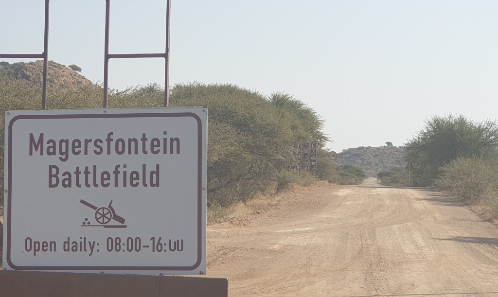
We leave Mokala again via the Lilydale entrance route, and upon reaching Richie, where this road crosses the N12, we notice that there are many Anglo-Boerwar battle sites nearby. This area is about 50km from Kimberley, which the Boers besieged in 1899. In an attempt to relieve Kimberley, the British forces suffered severe losses at Magersfontein, one of the battlefields in this area. This is only about 20km north east from Richie and we decide to take a short detour to Magersfontein rather than driving directly south.
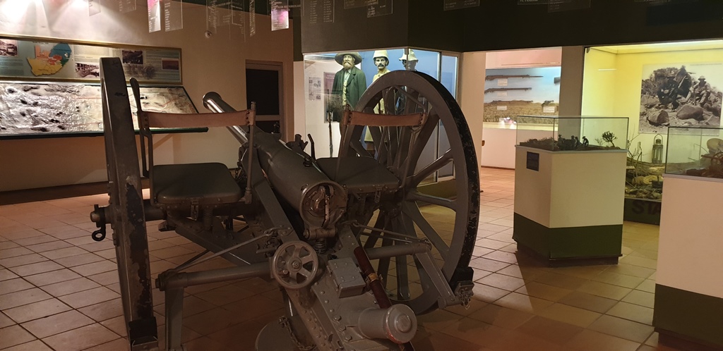
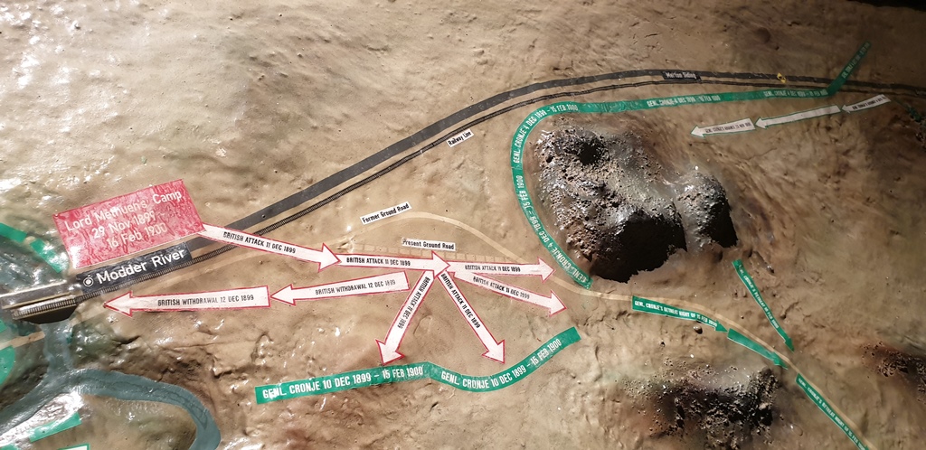
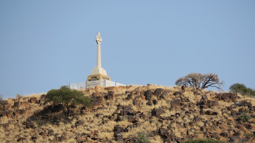
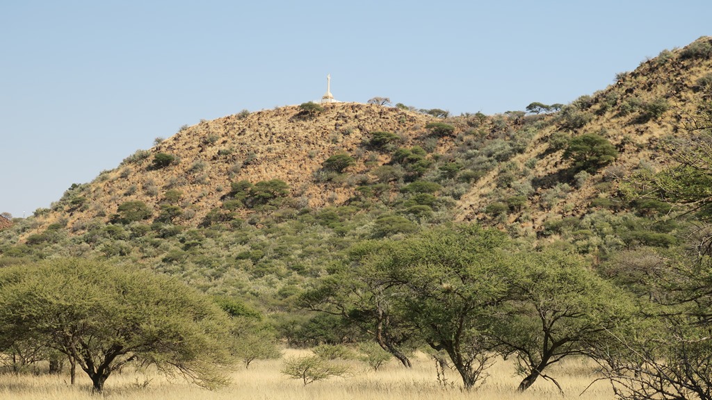
We pass Modderfontein close to the confluence of the Riet and Modder rivers, and then on to Magersfontein on a gravel road. One can understand why this was chosen by the Boers as a defensive position because it has good high ground and the surrounding plains would have given the British very little hiding place. There are a couple of monuments on the fenced terrain as well as a well-maintained museum and restaurant. We drive up the hill where we are told to first visit the museum where a movie and a static display will give us the background to what we will see at the lookout points. Both these are excellent and on our way back to the main lookout point we congratulate the employees of the Department of Arts and Culture that were working there.
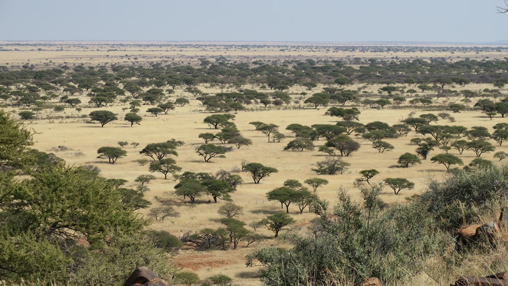
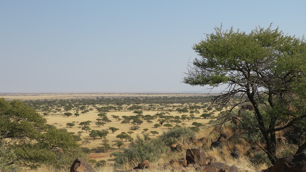
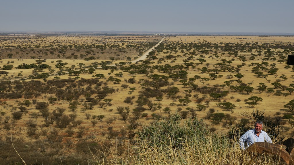
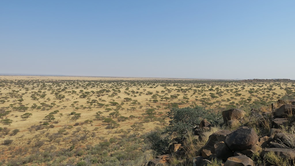
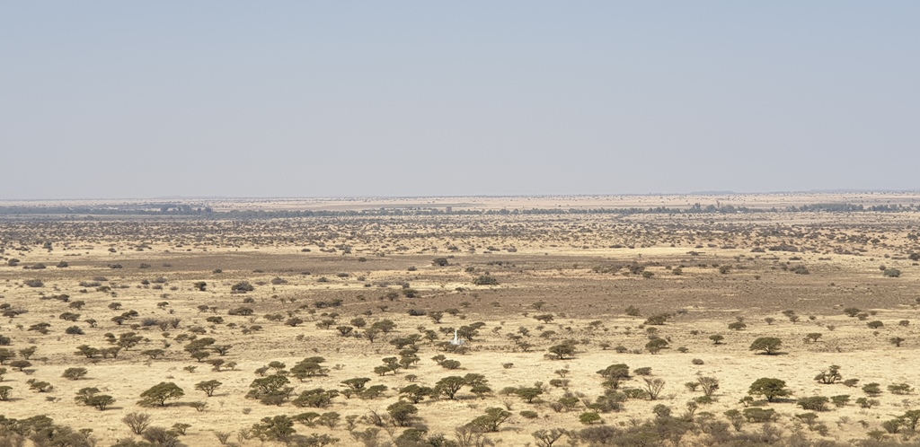
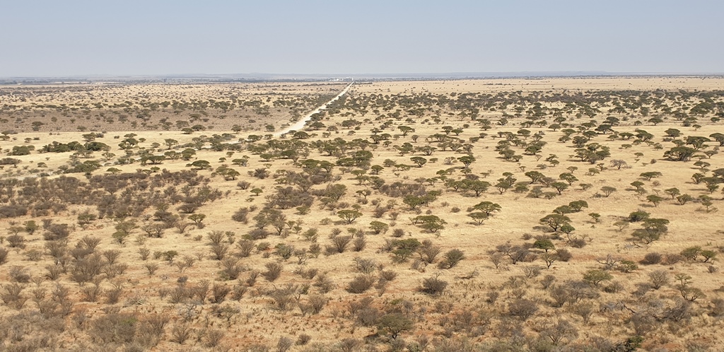
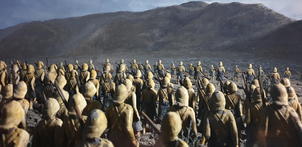
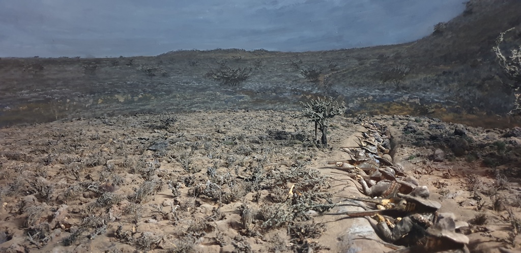
The lookout has a fantastic view of the plain below. It is mainly yellow grassland with camel thorn trees here and there and it is a very beautiful view. On this hill the Boers have positioned their Krupp canons and Pom-Pom (machine) guns. Down on the plain, just in front of the foot of the hill, one can see the white stones that today mark the position of the trenches that the Boers dug. It is these trenches that surprised the British troops – they thought the Boers were all on the hill. Thousands of British have died here.
We return to Modderfontein and then join the N12 south. At Hopetown (the first diamond in SA was discovered here next to the Orange River – the Gariep today) we stop at the Oranjerus fuel station next to the bridge. We chat with Rene Blom, the owner, who by some coincidence is related to both of us (she is married to the brother of the wife of Anette’s youngest brother and she is also the cousin of the wife of one of my brothers). Just in case you think we are very nosy people – we have known these facts for some time!
After coffee and the best “slap” chips in a long time (Rene uses a special method to make them), we meet Mali and Dreyer, old neighbours of us of years ago, who just stopped at the fuel station! We have not seen them for ages – what are the chances of meeting them here?
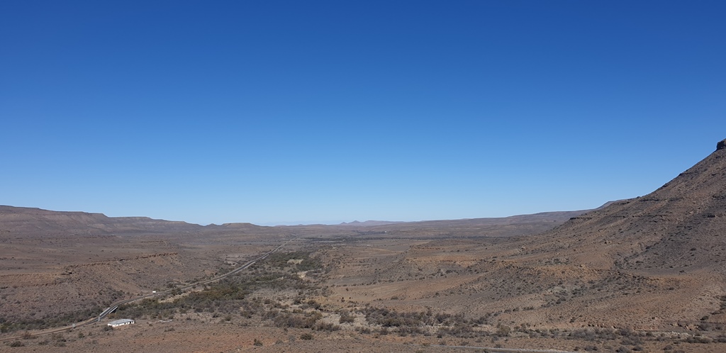
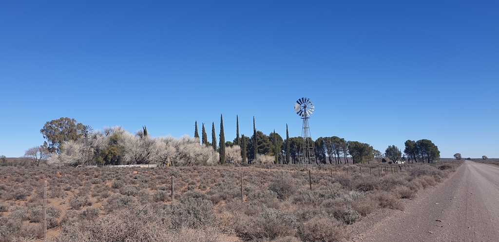
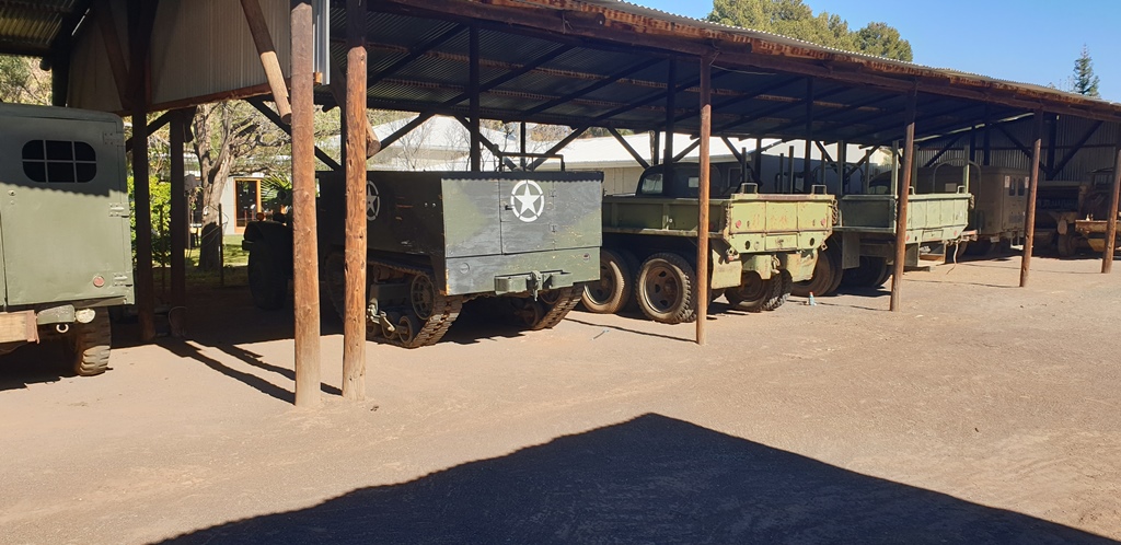
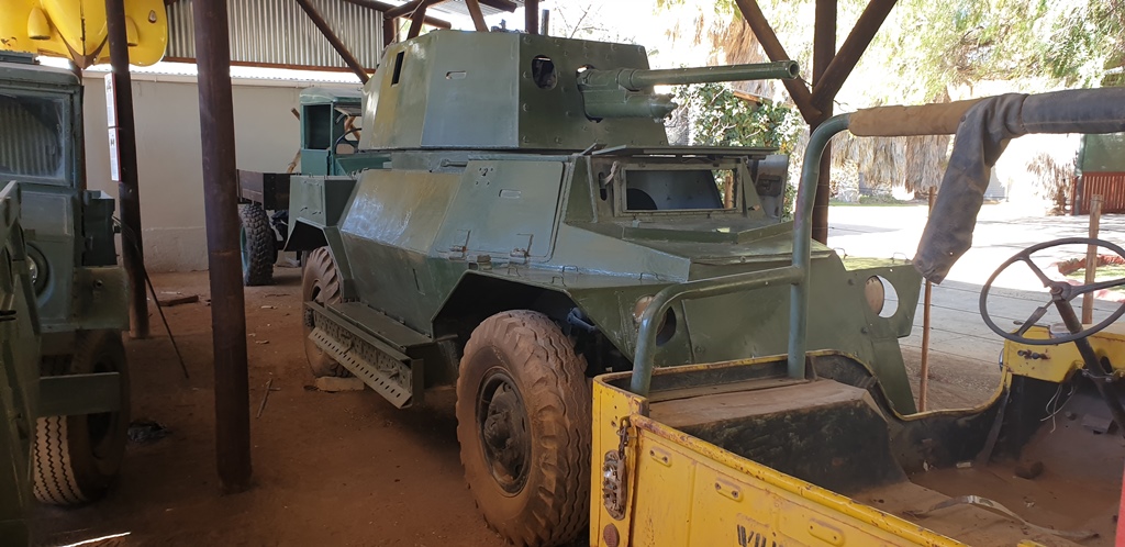
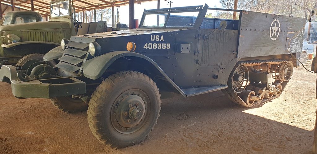
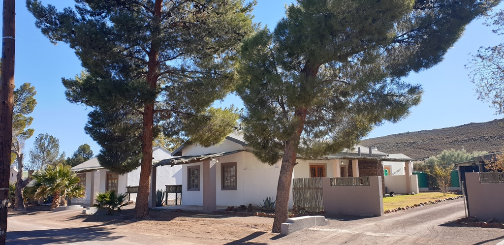
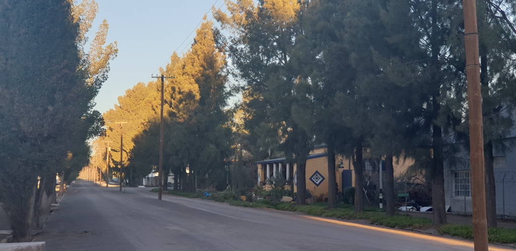
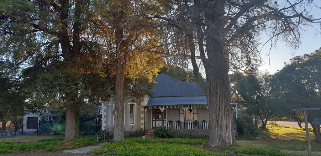
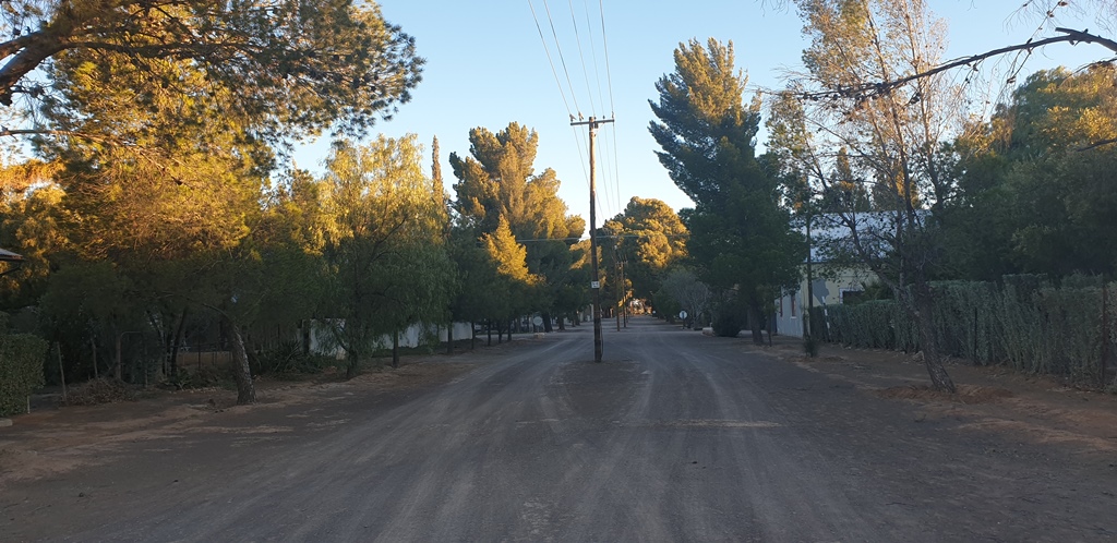
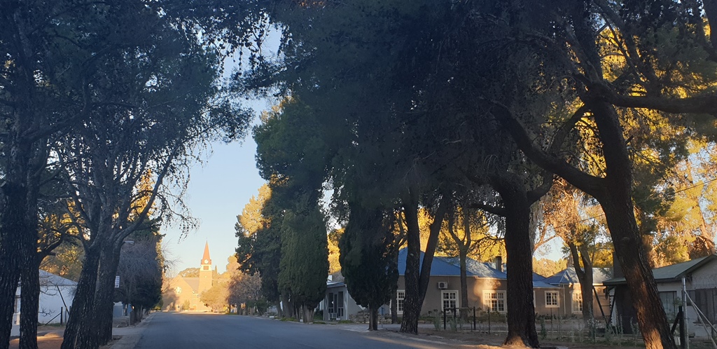
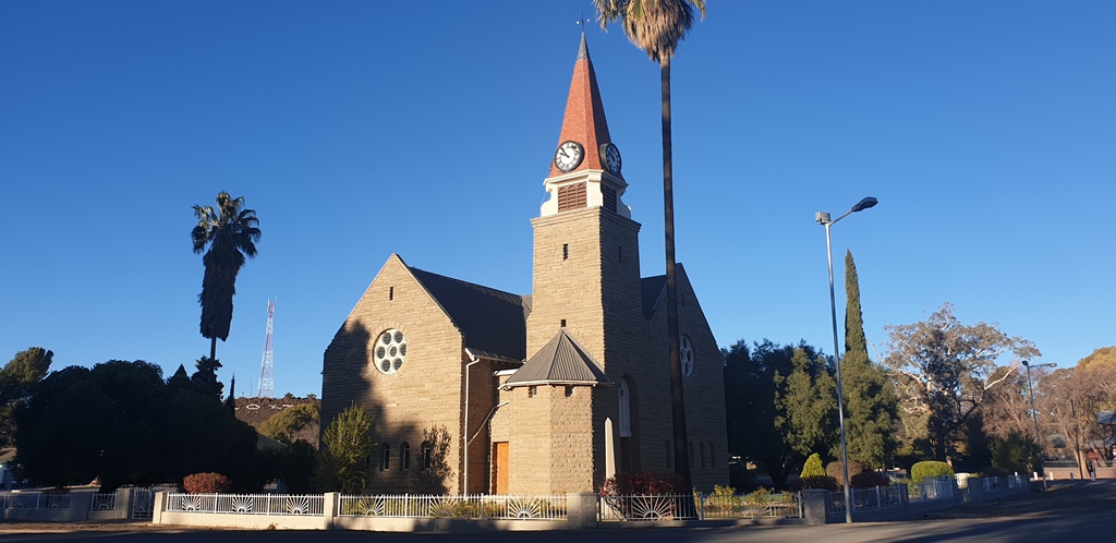
More than 15 minutes later we continue our journey south. We are now running very late and we do not want to be caught in the dark on a secondary road towards Loxton in the deserted Karoo highlands. We drive through Strydenburg and Britstown and then reach Victoria-West. Here we refuel and now leave the N12 on the R63 for Loxton. I was under the impression that this was a gravel road but to my surprise it is tarred. About half an hour later, well before dark, we reach Loxton – a quaint little town with tall trees on both sides of each road in the town (the majority are not tarred) and lamp posts in the middle of each road. It is very quiet and there is, for all practical purposes, nobody in the streets. We stop at the Loxton Lodge where we also have dinner – traditional lamb chops. The manager even gave us beers on the house! We have our own house across the street, that also belongs to the Lodge, all to ourselves. The night is not as cold as we have expected but with electric blankets and all, we are very comfortable. The next morning we go back to the Lodge to pay and I spend some time to look at all the old trucks and cars the owner have collected and restored and that he keeps in the shed in the backyard. There is an armoured troop carrier, an armoured car, an ambulance, jeeps and more, mostly from the Second World War. Also cars from, I guess, more or less the same era.
Today, Merweville is on our list.

