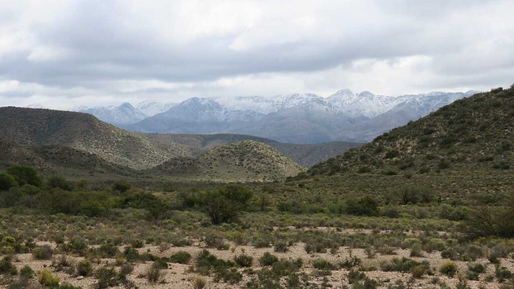
Today we are going to try something new. But as we get up, we realise that the day is going to be even more special. The Swartberg mountain, towering over the Klaarstroom Hotel, where we have stayed the previous couple of days, is covered in snow! This is always special in the Great Karoo because it is very arid and any form of water is very welcome – especially during a drought like we are having now. The dam is empty and the little town is supplied by boreholes on Frans’s neighbouring farm.
We have a good, hot breakfast in the dining room and have a final chat with the young guest with the Harley Davidson. We have decided to drive to Knysna, which is on the coast, today. The remaining part of our road-trip is not planned and, although Anette and I are quite organised, we sometimes include unplanned parts to our trips. If it turns out that we cannot stay where we wanted to, it is not the end of the world, because the planned part of our trip was our main focus for the road-trip. We have always wanted to drive from Klaarstroom to Willowmore and then, perhaps, via the Baviaanskloof pass to the coast, but current Covid lockdown regulations forbid any crossing into other provinces. So we decide to drive to Knysna via the Prince Alfred pass, a road that is not normally taken.
Fortunately, crossing the Swartberg mountains here, is easy through Meiringspoort. The snow does not reach this low. It will be impossible to cross via the Swartberg pass, which is closed due to the snow (or even via Meiringspoort if there is a flood!). We depart and drive through Meringspoort on the N12, looking at the snow higher up.
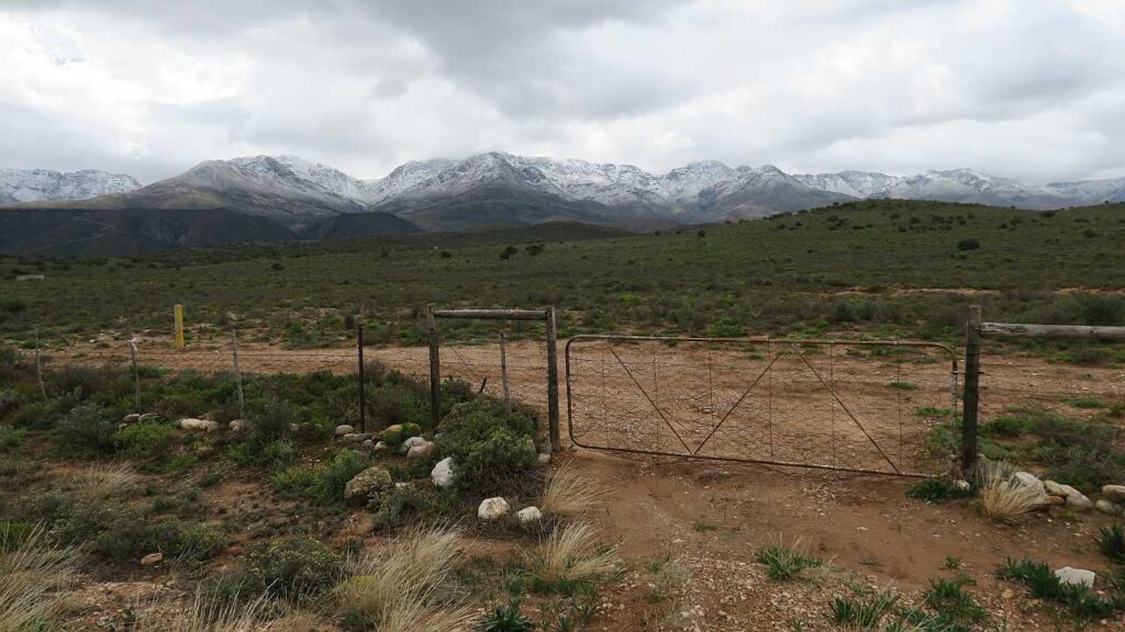
Just before we reach De Rust again, we turn left on the R341 towards Uniondale. It is a tarred road in good condition. The road has the Swartberg mountain on the left and it is a beautiful picture to see just kilometers of snow on it. This side of the mountain has more snow on it than on the Great Karoo side.
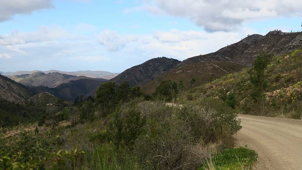
About 10 kms, before we reach the point, where the R339 splits off to the right towards Uniondale, Anette suggests we take a short-cut (see the map). It is a gravel road and in good condition. As always, it is interesting to see South Africa from a road less travelled. After driving a while we reach a low water bridge that is passable, but it is clear that it was closed due to flooding as recently as a couple of days ago with some of the road signs and rubble still remaining as evidence. If the bridge was still closed, we would have to drive all the way back to the tar road which would be quite a detour in the end! We reach the R339 without any further events and then join the N9 towards Uniondale.
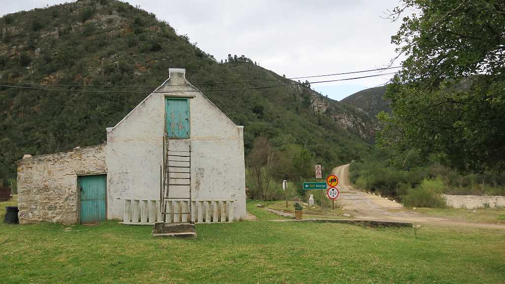
Uniondale is a small town (but an order of magnitude bigger than Klaarstroom, though!). As we enter the town, we see a fire station on the left-hand side of the road and decide to ask them if the Prince Alfred pass will be safe for us to use (the pass is a gravel road). They are not aware of any problems with the road, so we continue through town until we reach the turn-off to the R339 (we wanted to have coffee in town but could not find a place to our liking). From here it is still tar to where it crosses the R62. Turning left on the R62 would have taken us into the Langkloof, which we will not mind to see again, but, unfortunately, we will have to cross the provincial border to the Eastern Cape and that is not allowed during lockdown. So we cross the R62 and continue on the R339, which is gravel from here onwards.
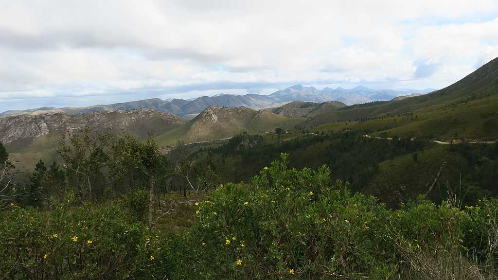
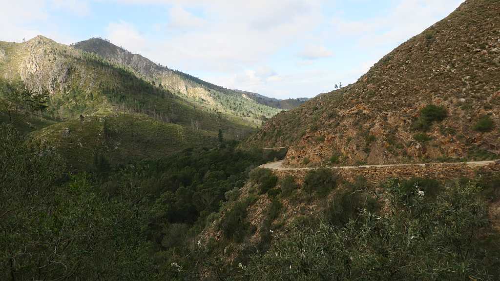
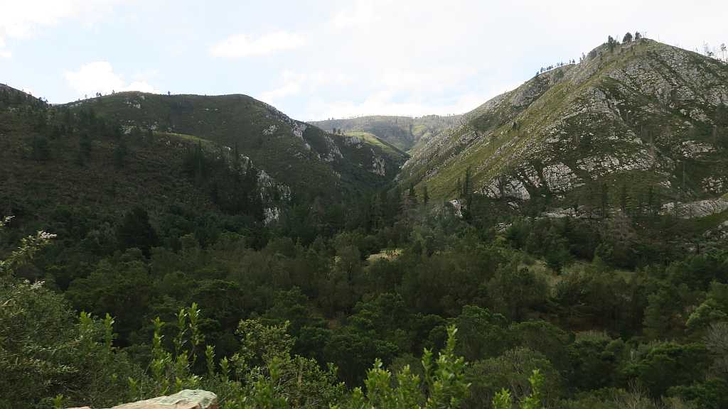
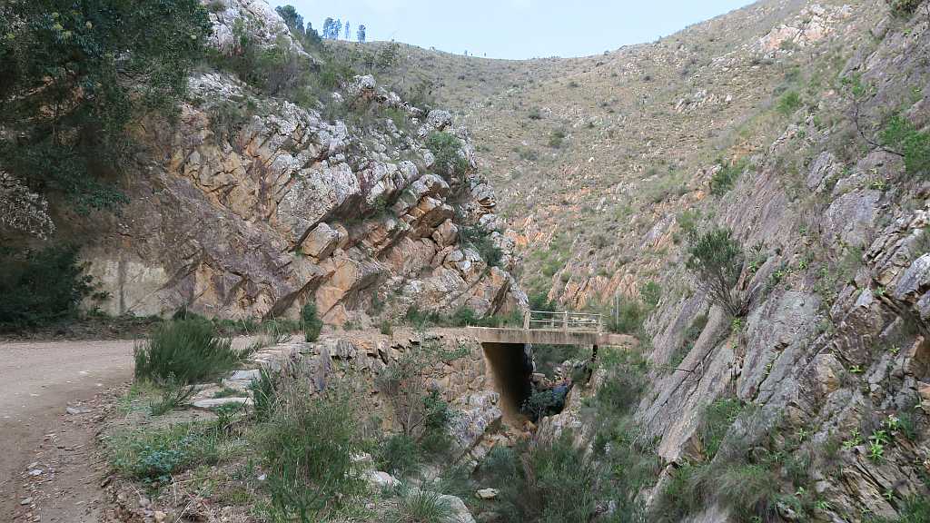
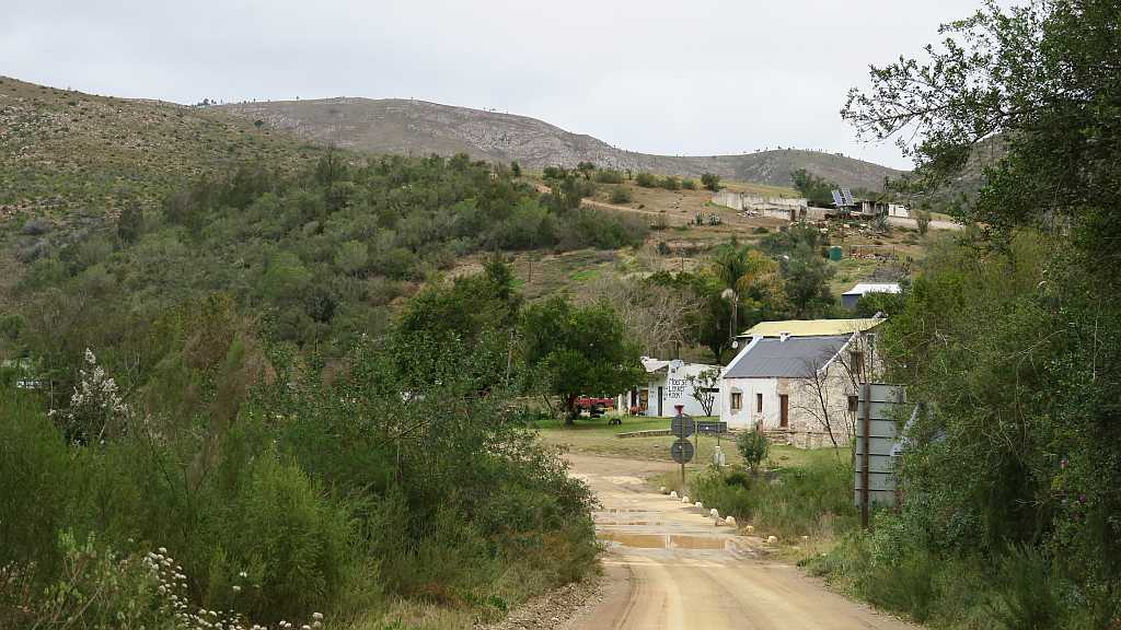
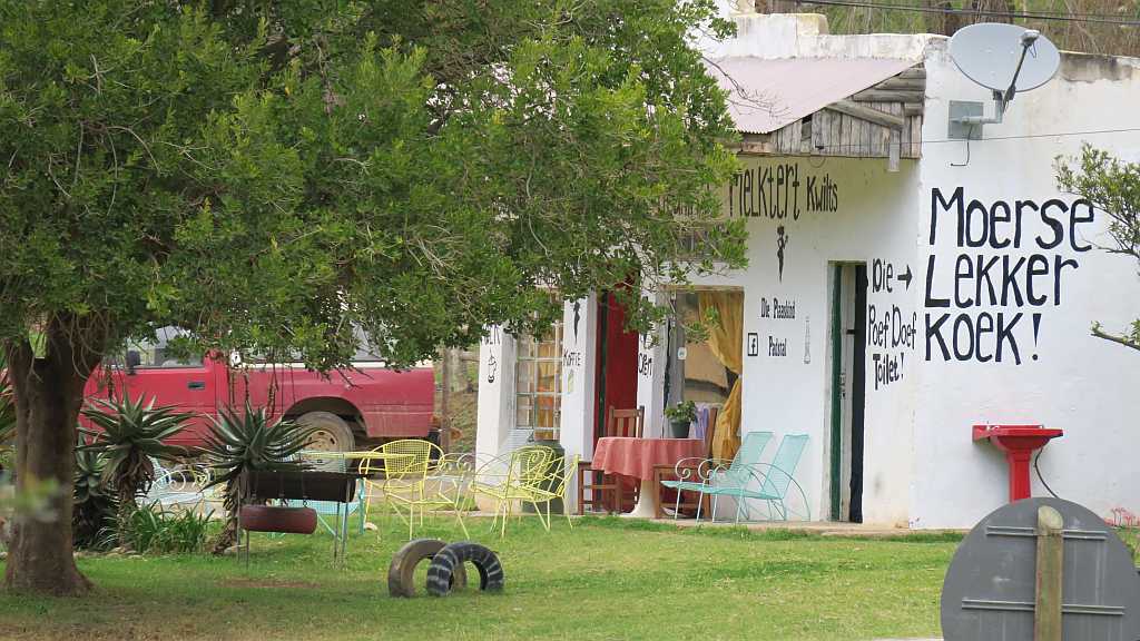
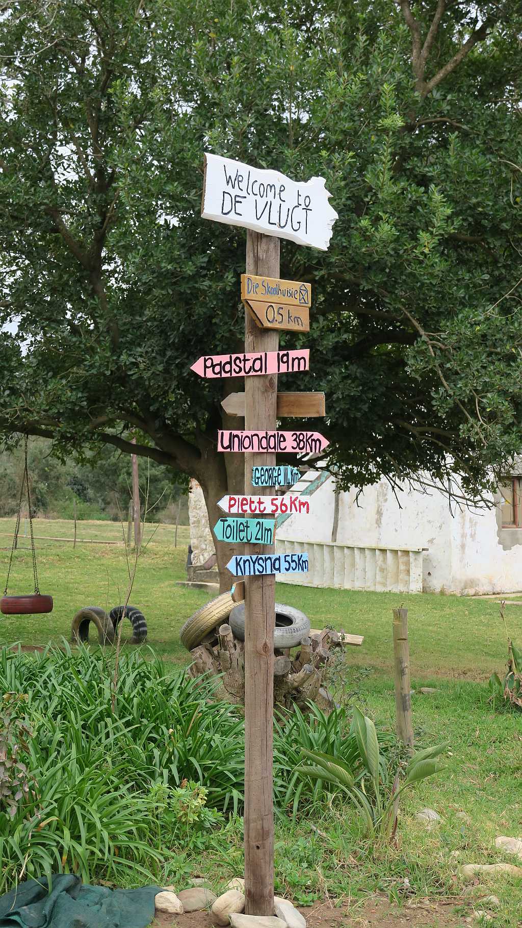
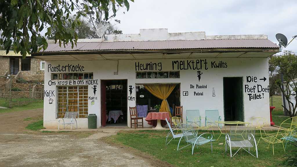
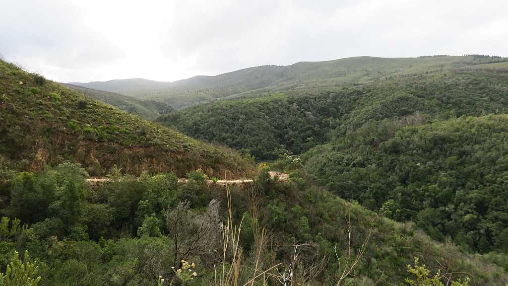
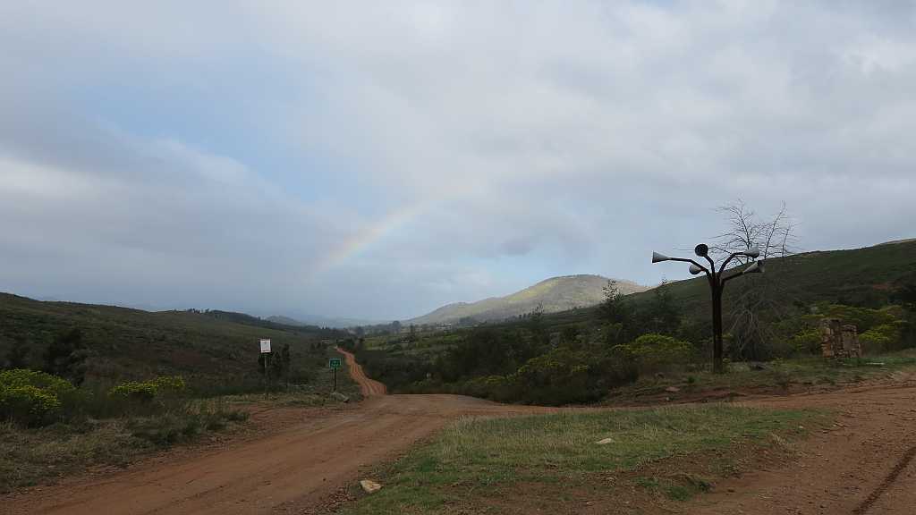
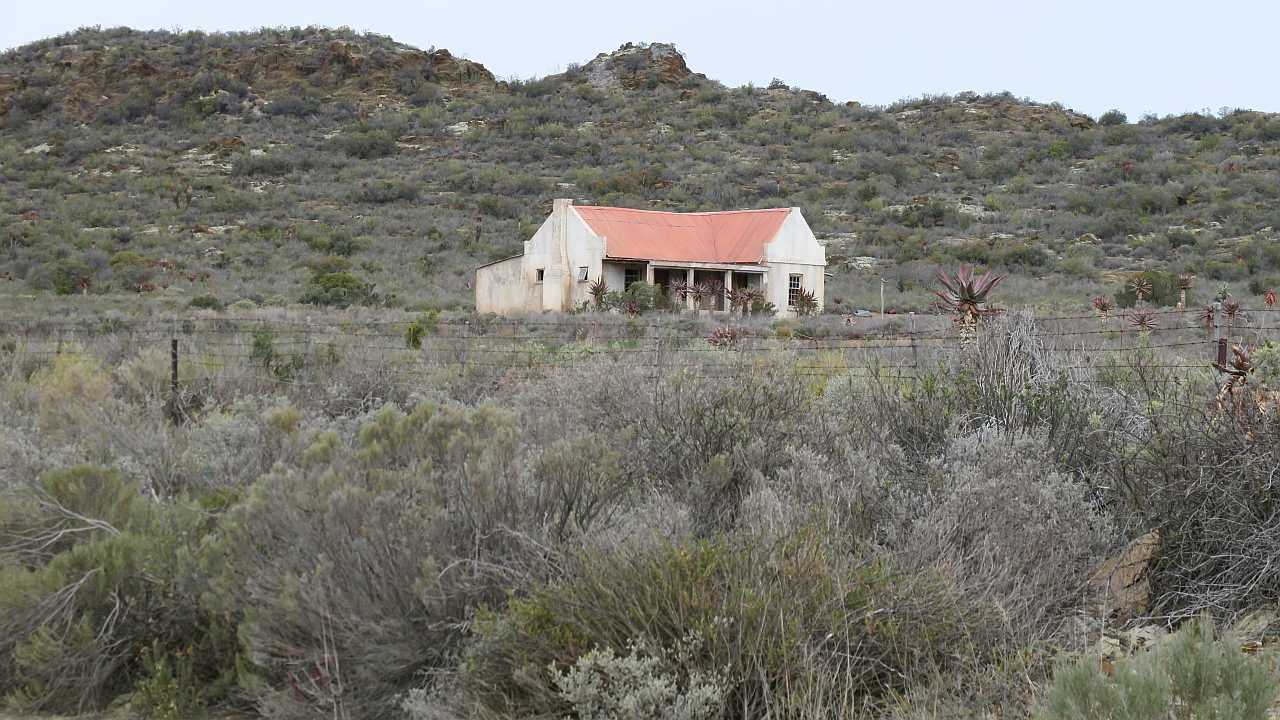
The road is narrow in places and winding. We meet only two or three vehicles coming from the opposite direction and, fortunately, at places where we can pass each other easily. I will not call the drive hair-raising but you do need to concentrate more than usual. The surface is dry and poses no problems. The scenery is quite breath-taking. We descend to find a remote farm stall (Die Plaaskind) at De Vlugt, about half-way on the 90 km drive to Knysna, next to the low water bridge over the Keurbooms river. There is no cell phone reception here and the owner tells us that a forest fire also destroyed their landlines some time ago. So they do not have any direct communication with the outside world. They sell all sorts of confectionery, jams and the like. On the one side of the farm stall is a long-drop toilet (called the “Poef Doef”, which is an obvious name to Afrikaans-speaking people like me!). On the other side is a field with a cow that a man with a very long beard is milking – in the quiet, your attention is immediately drawn by the sound of milk that is squirting at high pressure into a bucket at rythmic intervals. It is very quiet there. Close by, but out of sight next to the river, is a bar and simple overnight facilities called Angie’s G-spot, that is frequented by bikers from time to time.
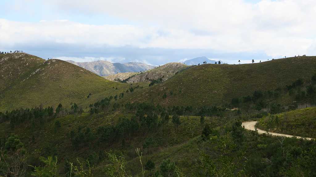
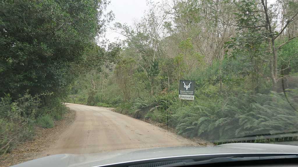
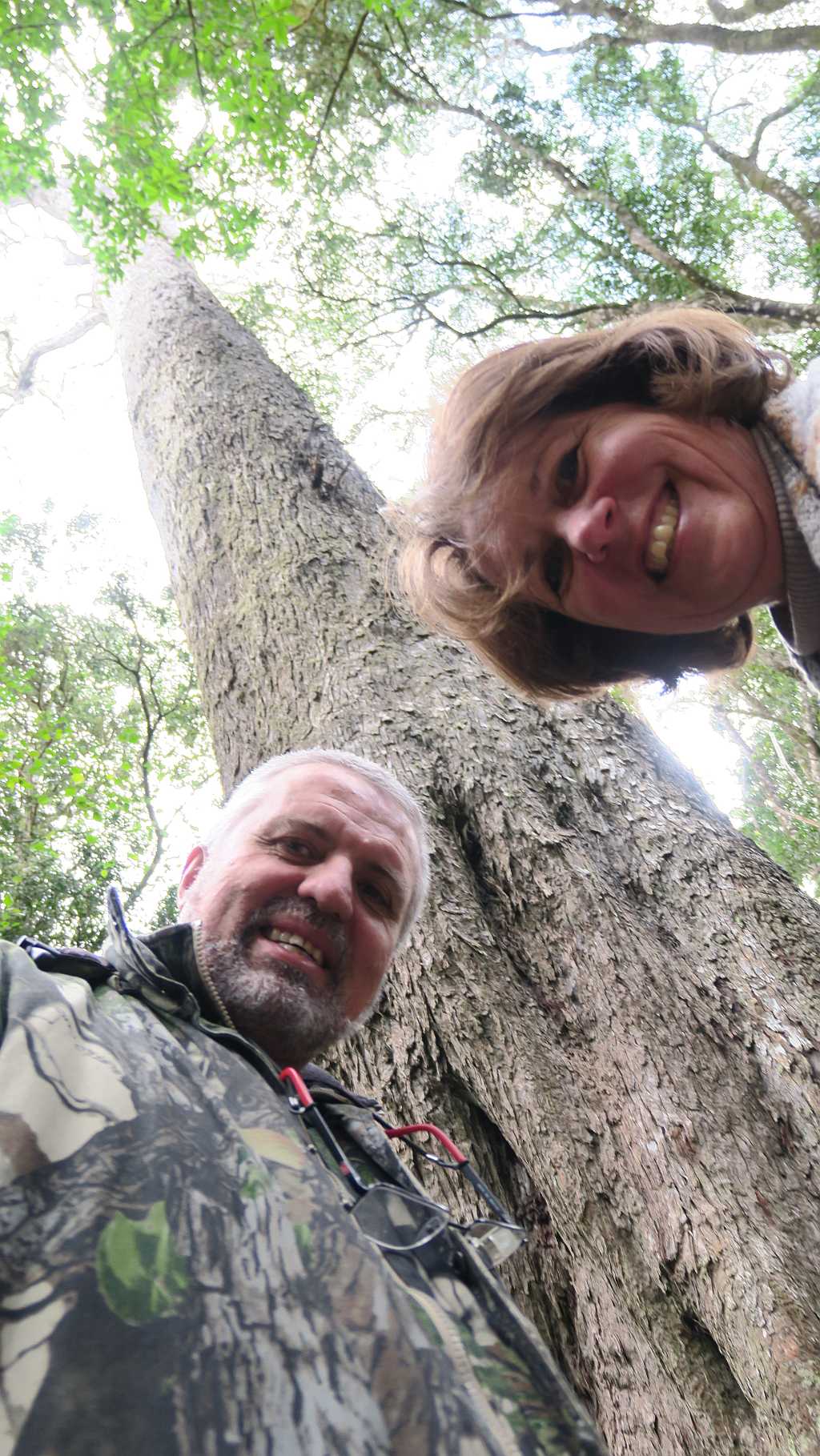
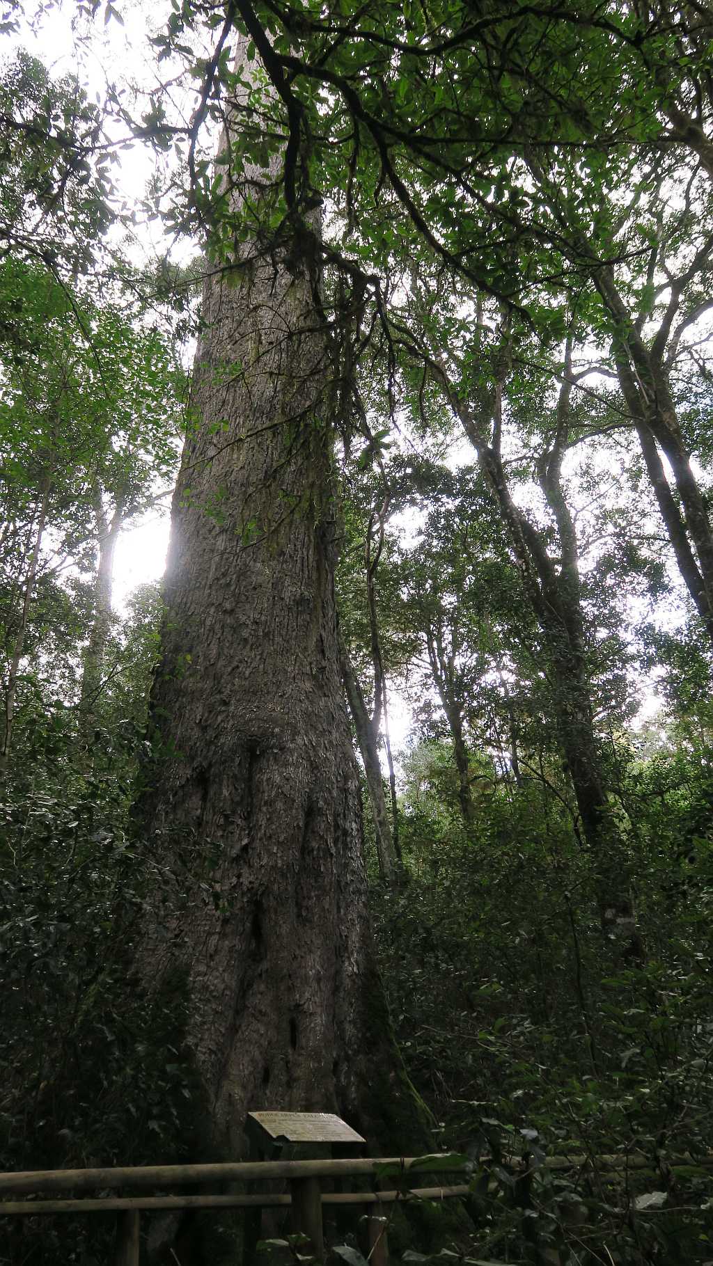
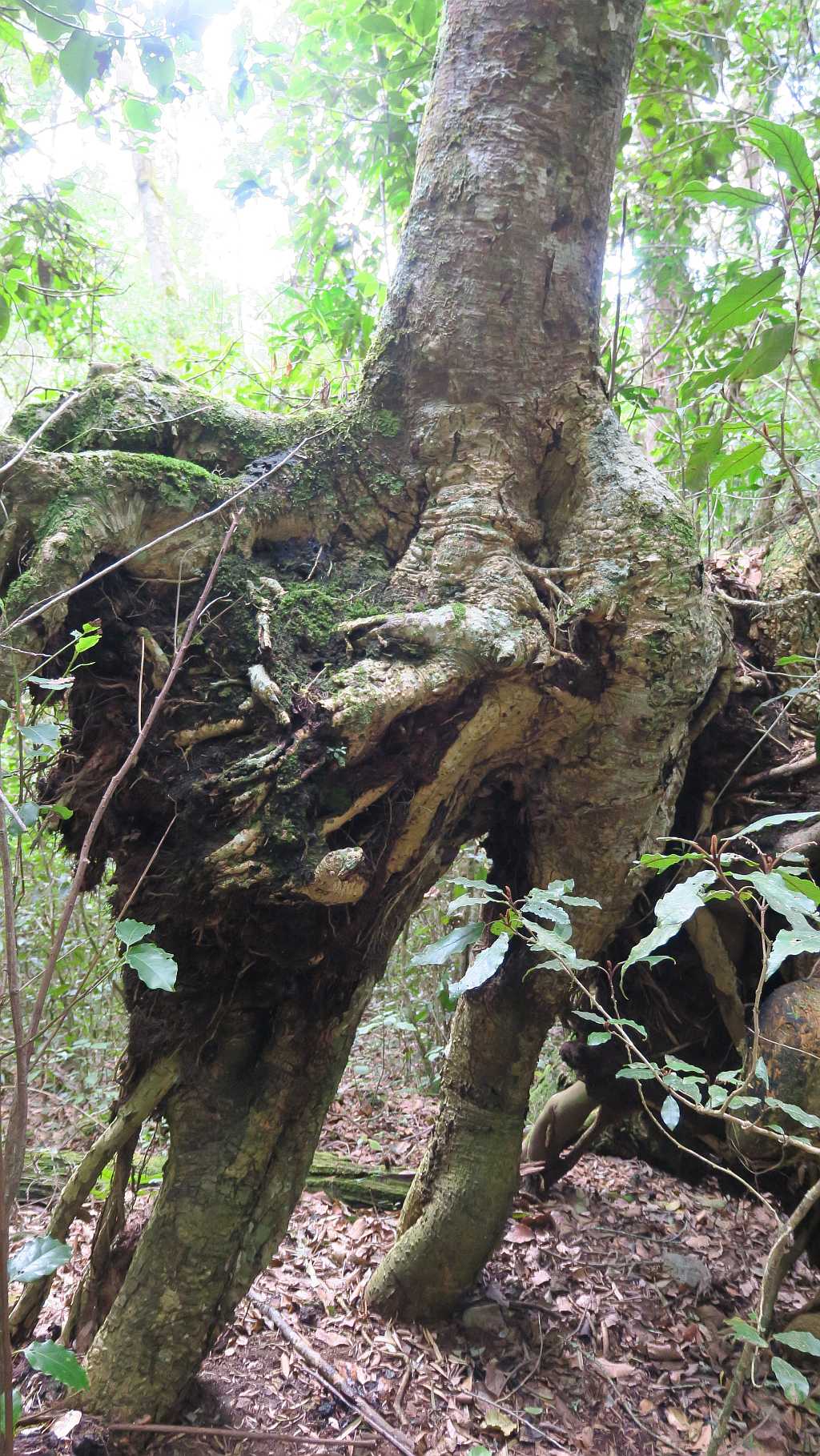
We hit the road again. This half of the road towards Knysna is more corrugated here and there, and when we pass the turn-off of the R340 to Keurboomstrand and Plettenberg Bay, it starts to become wet with smaller potholes the closer we get to our destination. It is clear that we are now entering the thick forests around Knysna. Closer to Knysna, we stop at a point which is marked as the Big Tree (there are a number of similar places in these forests). The forests are managed by Sanparks and one can walk to one of the very old and big trees that are still to be seen here.
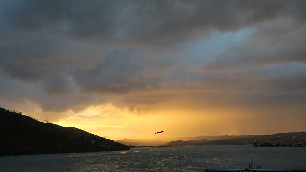
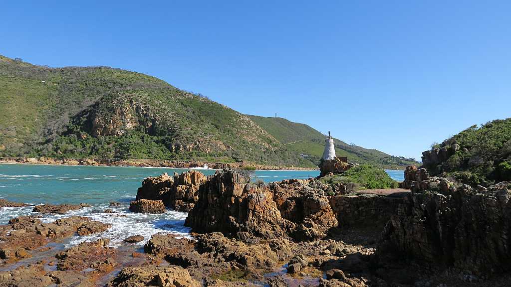
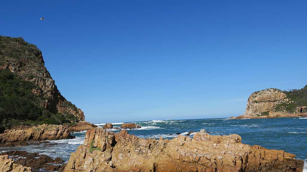
As we close in on Knysna, it starts to drizzle. We enter the town on the northern side. Knysna is a modern town, settled next to the Knysna Lagoon where the Knysna River runs into the Indian Ocean. Yachting, sea food and the arts are the in-things to keep yourself busy with here. Anette found us a nice guest house right on The Heads (the narrow opening where the lagoon meets the ocean). We have a brilliant view towards the lagoon and the room even has a star-gazing glass roof that the owner once thought would be an excellent idea. But the storm that hit Knysna that night was going to keep us awake for the better part of the night…